Lote B · Barrio Fraile · Culebra, Puerto Rico
Culebra.From a differentperspective.
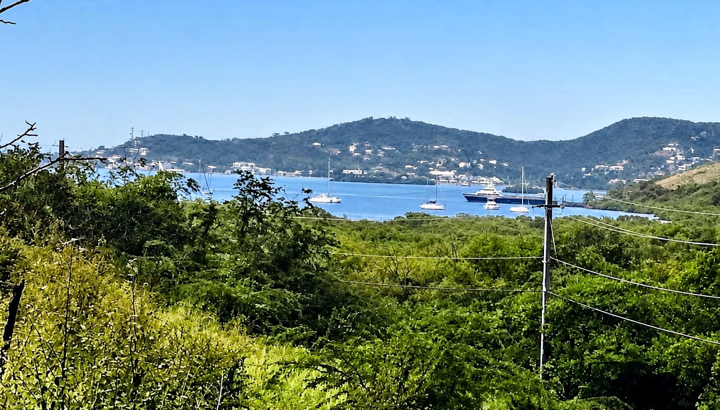
Nearly two acres in the hills of Culebra, with views toward the bay.
The Land
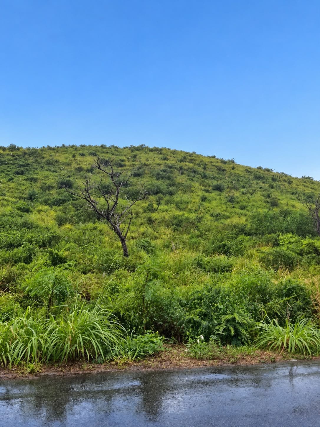
An undeveloped hillside, shaped by the island’s own topography.
1.94acres
7,860.92 m²
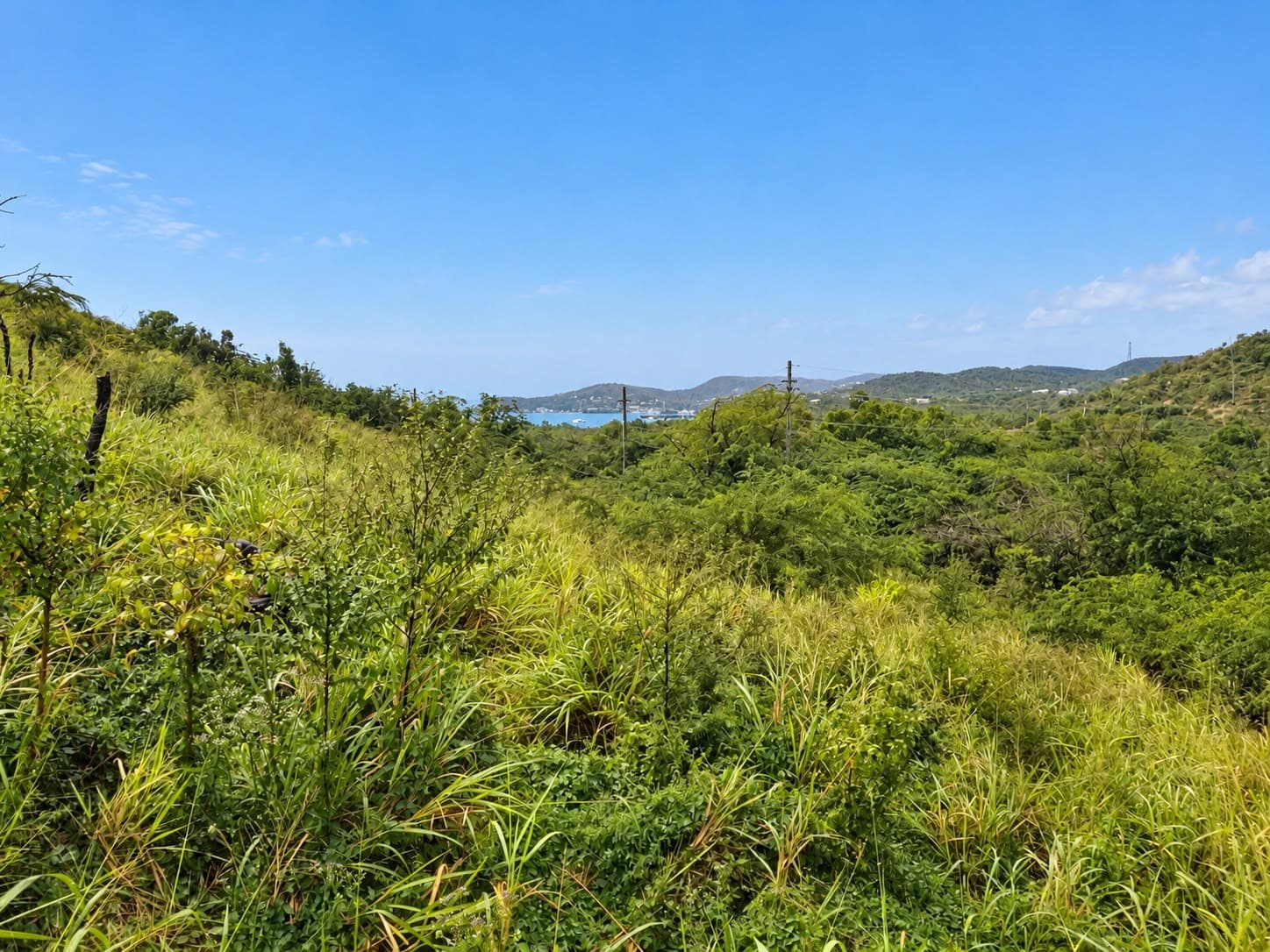
An undeveloped hillside property shaped by Culebra’s natural topography, with views across green valleys toward the harbor.
Lote B is a single surveyed parcel. According to the survey, its northern edge follows a municipal road toward PR-250, near kilometer 4.0, and the land extends roughly 170 meters to the south.
- Area
- 1.94 acres · 7,860.92 m²
- Location
- Barrio Fraile, Culebra
- Parcel
- Lote B
- Road reference
- PR-250, near km 4.0
- Title
- Recorded in the Property Registry
- Utilities
- Electricity and water at the road
- Asking price
- From $315,000 · sold by the owners
What sets Lote B apart
- 01
Recorded title
The property is recorded in the Registro de la Propiedad del Estado Libre Asociado de Puerto Rico (Registry of Property of the Commonwealth of Puerto Rico) — uncommon in Culebra, where much of the land has never been entered in the Registry.
- 02
Utilities at the property
Lote B fronts the municipal road, and electricity and water service already reach the property along it — giving immediate access to utilities.
- 03
Directly from the owners
Sold directly by the owners. You deal with them from first question to closing.
Explore
The property, as photographed.
Owner photographs. Vegetation and light vary with season and weather.
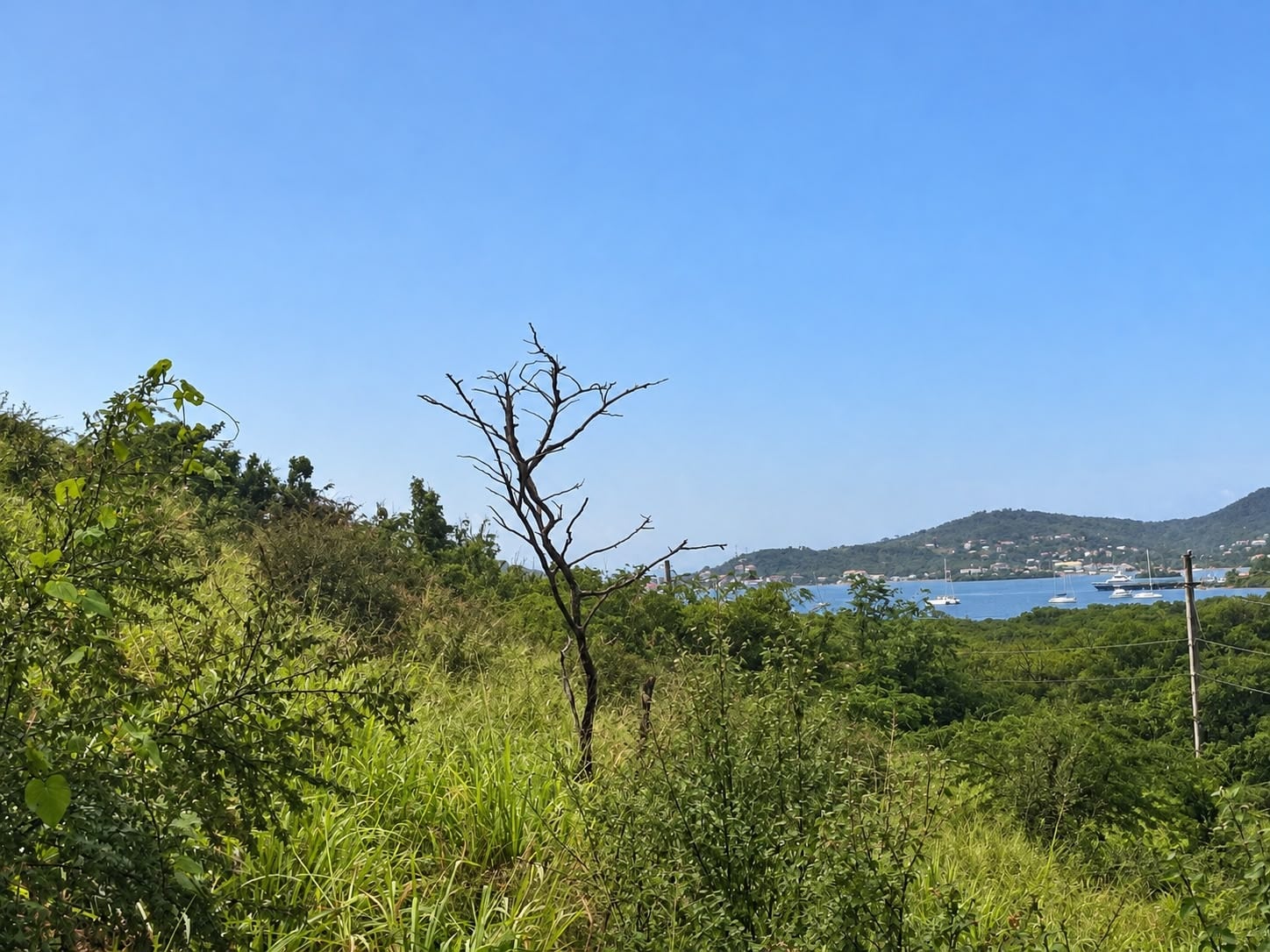
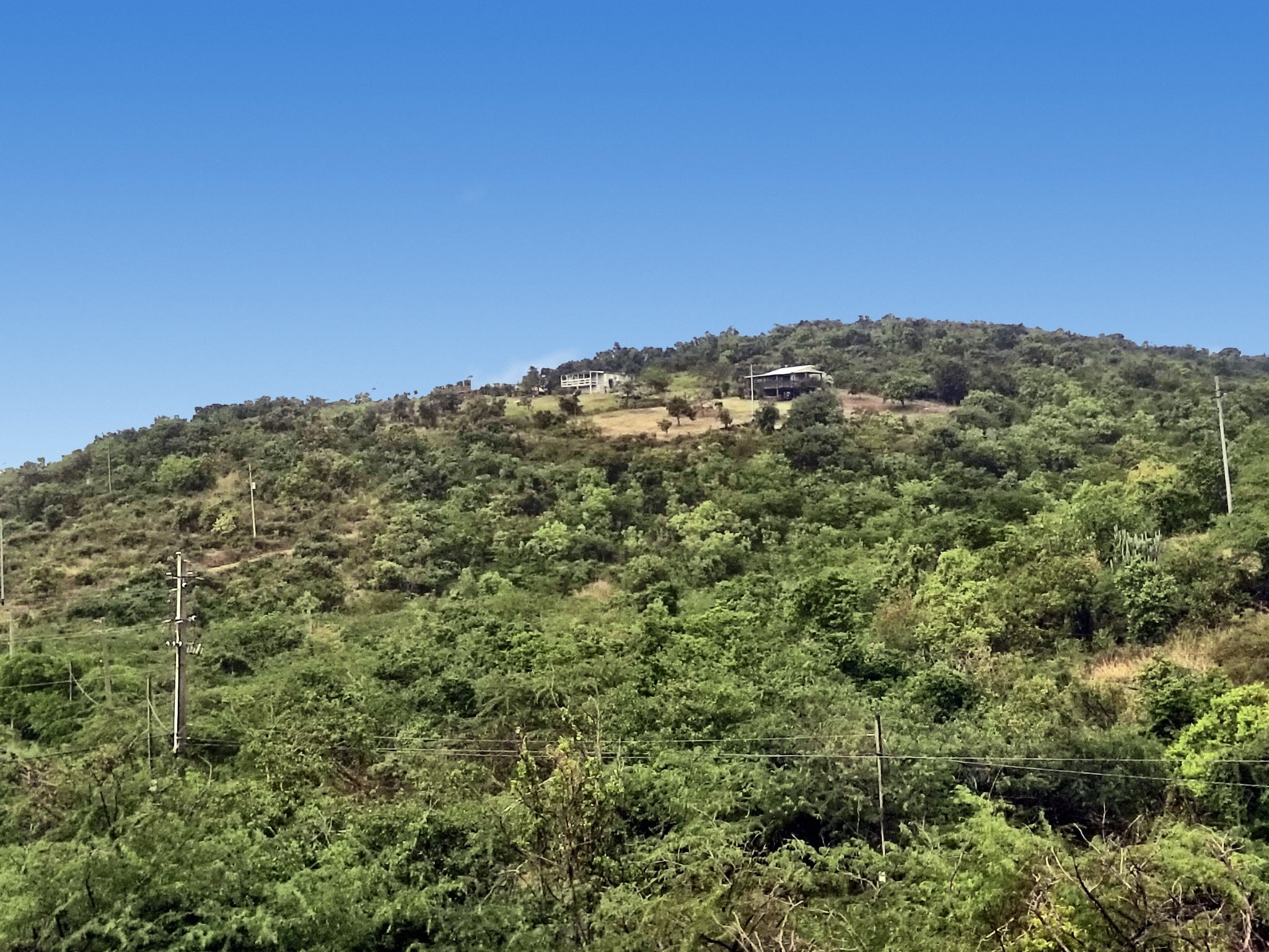
Photograph 1 of 5Harbor views
The bay beyond the slope.
Location
Located from the survey.
The outline is plotted from the thirteen boundary coordinates recorded in the 2023 survey (NAD83, Puerto Rico State Plane) and converted to WGS84.
Culebra
Culebra, Puerto Rico.
- Municipality
- Culebra, Puerto Rico
- Barrio
- Fraile
- Road
- PR-250, near km 4.0
- Jurisdiction
- Puerto Rico, U.S. territory · U.S. dollar
- Island access
- Ferry from Ceiba · Benjamín Rivera Noriega Airport
Survey
What the survey establishes.
Lote B is defined by a signed survey made by a licensed surveyor in January 2023. These are its figures.
- Surveyed area
- 7,860.92m²2.00 cuerdas · 1.94 acres
- Perimeter
- 494.94m13 boundary courses
- Road frontage
- 84.44mMunicipal road, north side
- Depth
- 171.20mEast boundary, north to south
Boundaries
- East171.20 m1 course
- North — municipal road84.44 m4 courses
- Northwest24.09 m1 course
- West — angled51.38 m1 course
- West129.19 m5 courses
- South34.64 m1 course
Boundary markers
Each of the 13 boundary points is marked on the ground.
- 6 · Rebar
- 6 · Pipe
- 1 · Fence post
- Survey date
- January 2023
- Coordinates
- NAD83 · Puerto Rico State Plane
Due diligence
Final boundaries, title, access rights, zoning, permitted uses, utilities and development feasibility should be independently verified through qualified professionals and the appropriate government agencies. The information on this site is provided for reference and is not a representation or warranty.
Inquire
A place to make your own.
Asking price
$315,000
Lote B · 1.94 acres · Fraile, Culebra
Sold directly by the owners.